Postcodes in Australia are a system of four-digit numerical codes used by Australia Post to sort and route mail efficiently. Introduced in 1967 by the Postmaster-General’s Department, they replaced older postal coding methods and remain the foundation of the Australian addressing system. Postcodes are written at the end of an address, before “Australia” in international mail.
Most Australian envelopes and postcards feature four small postcode squares at the bottom right-hand corner, allowing senders to write each digit separately. These boxes support optical character recognition (OCR) in mail sorting machines, speeding up the delivery process for hand-addressed letters.
History
The Australian postcode system was introduced in 1967, replacing regional numbering systems such as Melbourne’s alphanumeric district codes (e.g., N3, E5) and New South Wales’ rural codes. Its introduction coincided with the deployment of mechanical mail sorting machines, beginning at the Sydney GPO.
The first digit of each postcode was adapted from radio call sign prefixes, originally aligned with state and territory boundaries. Although often confused with historical Military Districts (1911–1997), only the first two and three-digit ranges bore similarity to military boundaries.
By 1968, around 75% of mail included postcodes, aided by the introduction of standard-size envelopes. In 1990, postcode squares were introduced to further integrate OCR technology into the mail-sorting process.
Format and Addressing
Australian postcodes always consist of four digits, placed after the locality and state:
Example (street address):
Mr John Smith
100 Citizen Road
BLACKTOWN NSW 2148
Example (PO Box):
Mr John Smith
PO Box 99
PARRAMATTA NSW 2124
When sending mail from overseas, the postcode appears before the word “Australia.”
Some suburbs and towns have two postcodes: one for street addresses and another for PO Boxes. Major businesses, hospitals, and government agencies previously received dedicated postcodes as Large Volume Receivers (LVRs), though this practice has been phased out since 2006.
Geographic Allocation
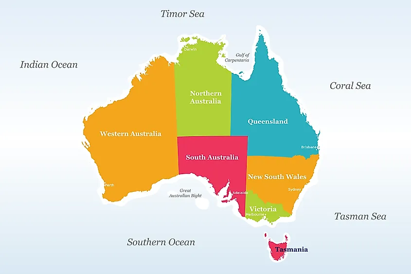
The first one or two digits of a postcode usually indicate the state or territory.
| State/Territory | Abbreviation | Postcode Range |
|---|---|---|
| New South Wales | NSW | 1000–1999 (LVRs, PO Boxes), 2000–2599, 2619–2899, 2921–2999 |
| Australian Capital Territory | ACT | 0200–0299 (LVRs), 2600–2618, 2900–2920 |
| Victoria | VIC | 3000–3996, 8000–8999 (LVRs) |
| Queensland | QLD | 4000–4999, 9000–9999 (LVRs) |
| South Australia | SA | 5000–5799, 5800–5999 (LVRs) |
| Western Australia | WA | 6000–6797, 6800–6999 (LVRs) |
| Tasmania | TAS | 7000–7799, 7800–7999 (LVRs) |
| Northern Territory | NT | 0800–0899, 0900–0999 (LVRs) |
Capital City Postcodes
Capital city postcodes generally end in “000” for street addresses and “001” for GPO Boxes:
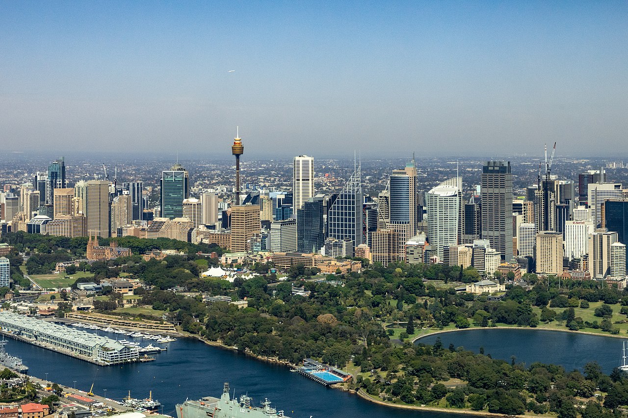
- Sydney: 2000 / 2001
- Melbourne: 3000 / 3001
- Brisbane: 4000 / 4001
- Adelaide: 5000 / 5001
- Perth: 6000 / 6001
- Hobart: 7000 / 7001
- Darwin: 0800 / 0801
- Canberra: 2600 / 2601
Special and Remote Allocations
Some postcodes cross state or territory borders for efficiency. For example:
- 0872 – used across NT, SA, and WA communities.
- 2620 – covers NSW and ACT suburbs near Canberra.
- 4825 – Alpururrulam (NT) served via Queensland.
Remote and sparsely populated areas may share postcodes with regional centres. Some localities, especially in the Outback, may lack dedicated codes entirely.
External Territories
Australia’s external territories are integrated into the postcode system:
- Norfolk Island – 2899 (NSW)
- Christmas Island – 6798 (WA)
- Cocos (Keeling) Islands – 6799 (WA)
- Heard & McDonald Islands – 7151 (TAS)
- Macquarie Island & Antarctic Bases – 7151 (TAS)
A novelty postcode, 9999 VIC, is reserved for mail addressed to “Santa, North Pole.”
Postcode Uses Beyond Mail
Postcodes in Australia extend beyond mail routing:
- Insurance & finance – Premiums and risk assessments often use postcode data.
- Transport planning – Bus stops in Sydney are coded using postcode prefixes.
- Mapping & real estate – Street directories and GIS datasets use postcode boundaries.
- Government & statistics – The ABS and ATO publish census and tax data by postcode.
Businesses also define sales territories and franchise zones by postcode, making them integral to commerce and planning.
Mechanised Sorting
To speed up delivery, Australia Post employs barcodes for automated sequencing. Each address is linked to a Delivery Point Identifier (DPID), enabling machines to sort items directly into delivery order.
- Letter sorting machines handle up to C5 size.
- Flat multi-level OCR manages larger formats up to A3.
- RATS (Rapid Addressing Tool System) allows bulk mailers to generate barcodes before posting.
This automation has significantly reduced manual sorting, reinforcing postcodes as central to the logistics network.
Summary
Postcodes in Australia are more than four-digit numbers—they are an essential part of the nation’s postal, commercial, and statistical systems. Introduced in 1967, they standardised and mechanised mail delivery, expanded into insurance, mapping, and planning, and today remain a key organising tool across Australian life.