Severe thunderstorms are forecast across eastern Australia this weekend, with Melbourne, Canberra, Sydney and Brisbane among the cities facing storm risks as a cold front moves through warm, humid air.
The Bureau of Meteorology has warned of damaging winds, large hail and heavy rainfall capable of causing flash flooding. The threat moves across Victoria and inland NSW on Saturday, October 31, before shifting towards northern NSW and southeast Queensland on Sunday, November 1.
The Bureau’s Saturday morning outlook identifies parts of northern and eastern NSW as areas where Sunday’s storms could produce destructive gusts exceeding 125km/h. These are localised risks within the broader forecast area, rather than conditions expected everywhere. The Bureau of Meteorology
Melbourne and eastern Victoria face Saturday storms
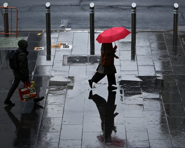
Melbourne experienced rain and lightning on Saturday morning, but a subsequent band of thunderstorms was expected to bring more severe conditions during the afternoon.
Areas of concern include Gippsland, Victoria’s northeastern ranges and north-central districts. Damaging wind gusts are the main threat, with the potential to bring down trees and branches or damage property.
BoM meteorologist Angus Hines said the second band of storms could be stronger than the weather that moved through earlier in the day.
The system is expected to progress east and north as Saturday continues, spreading the storm risk beyond Victoria.
Canberra and NSW face damaging winds and hail
Canberra and inland NSW are also in the path of the approaching weather system, with storms forecast during the afternoon and evening.
Alongside damaging winds, storms in these areas could bring large hail and intense rainfall. Coastal areas south of Sydney, including Wollongong and the Illawarra, could see storms later in the day as the front moves east.
Sydney is included in the broader weekend storm outlook, although the timing and severity of conditions will depend on how individual thunderstorms develop.
A regional storm forecast does not mean every suburb or town will experience severe weather. Local warnings provide more precise information as storms form and move.
Brisbane storm risk increases on Sunday
The main area of concern shifts towards northern NSW and southeast Queensland on Sunday, with Brisbane facing the possibility of heavy rain and thunderstorms during the afternoon and early evening.
The broader risk area extends from Newcastle to Gympie. Within that corridor, parts of the NSW Mid North Coast, Northern Rivers, tablelands and Hunter region are considered particularly susceptible to severe thunderstorms.
Possible hazards include large hail, flash flooding and damaging winds. The strongest storms could produce destructive gusts capable of bringing down large trees and damaging buildings.
Recent rainfall adds to flash-flooding concerns
Areas that have already experienced substantial rain over the past fortnight could be especially vulnerable to further downpours.
Where the ground is saturated, additional rainfall can turn rapidly into runoff, increasing the risk of localised flash flooding.
The location of the heaviest rain will depend on individual storms, making updated forecasts and warnings important throughout the weekend.
Mountain areas face a separate wind threat
A separate severe weather warning also covers elevated parts of northern Victoria and southern NSW.
Gusts above 100km/h were recorded in mountain areas on Saturday morning. These strong winds present an additional hazard for people travelling through exposed or elevated locations, even outside thunderstorms.
Residents should continue checking the BOM Weather app, local forecasts and severe thunderstorm warnings as the system develops. The Bureau’s weekend outlook describes a changing risk across several states, with conditions and warning areas likely to evolve as storms move east and north.